
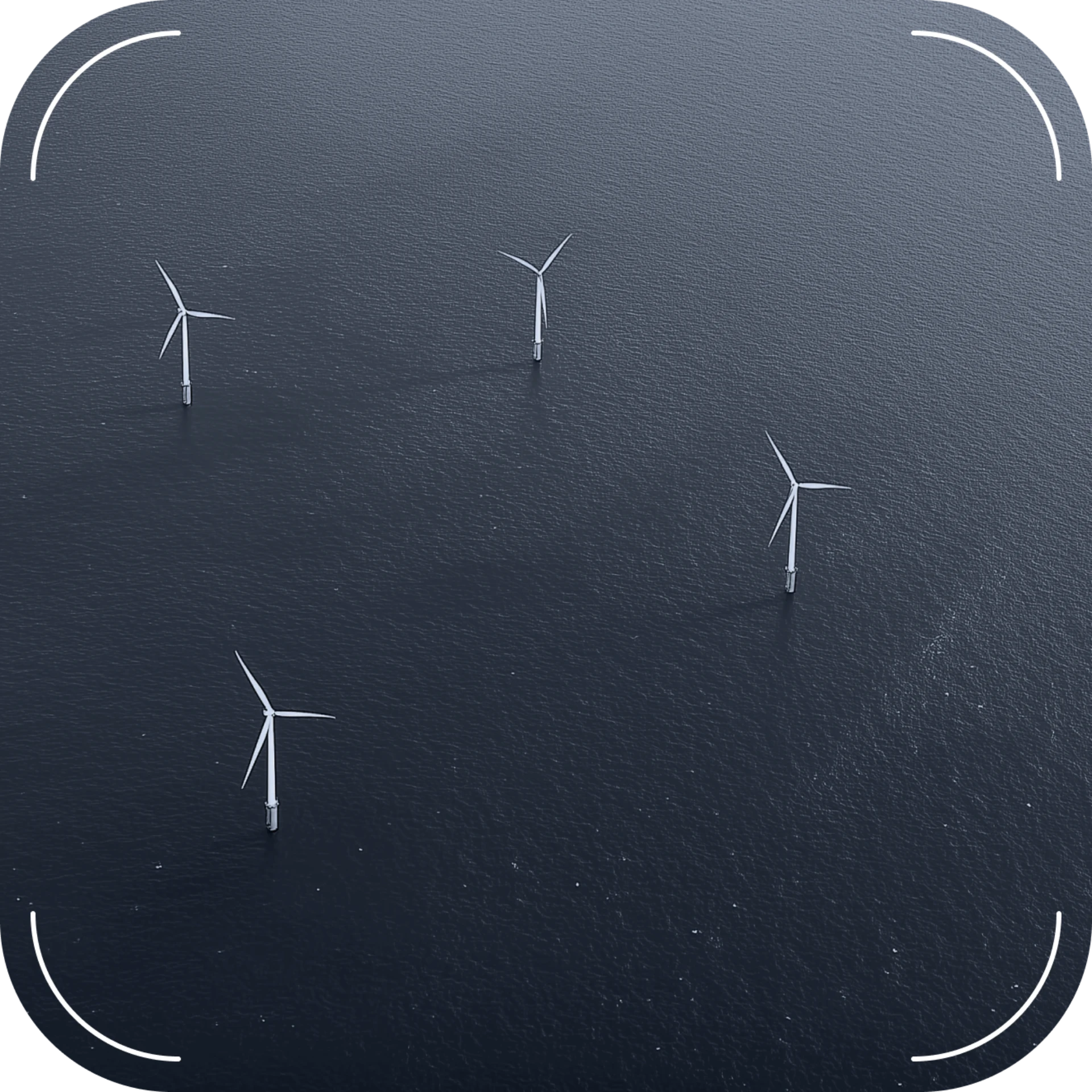
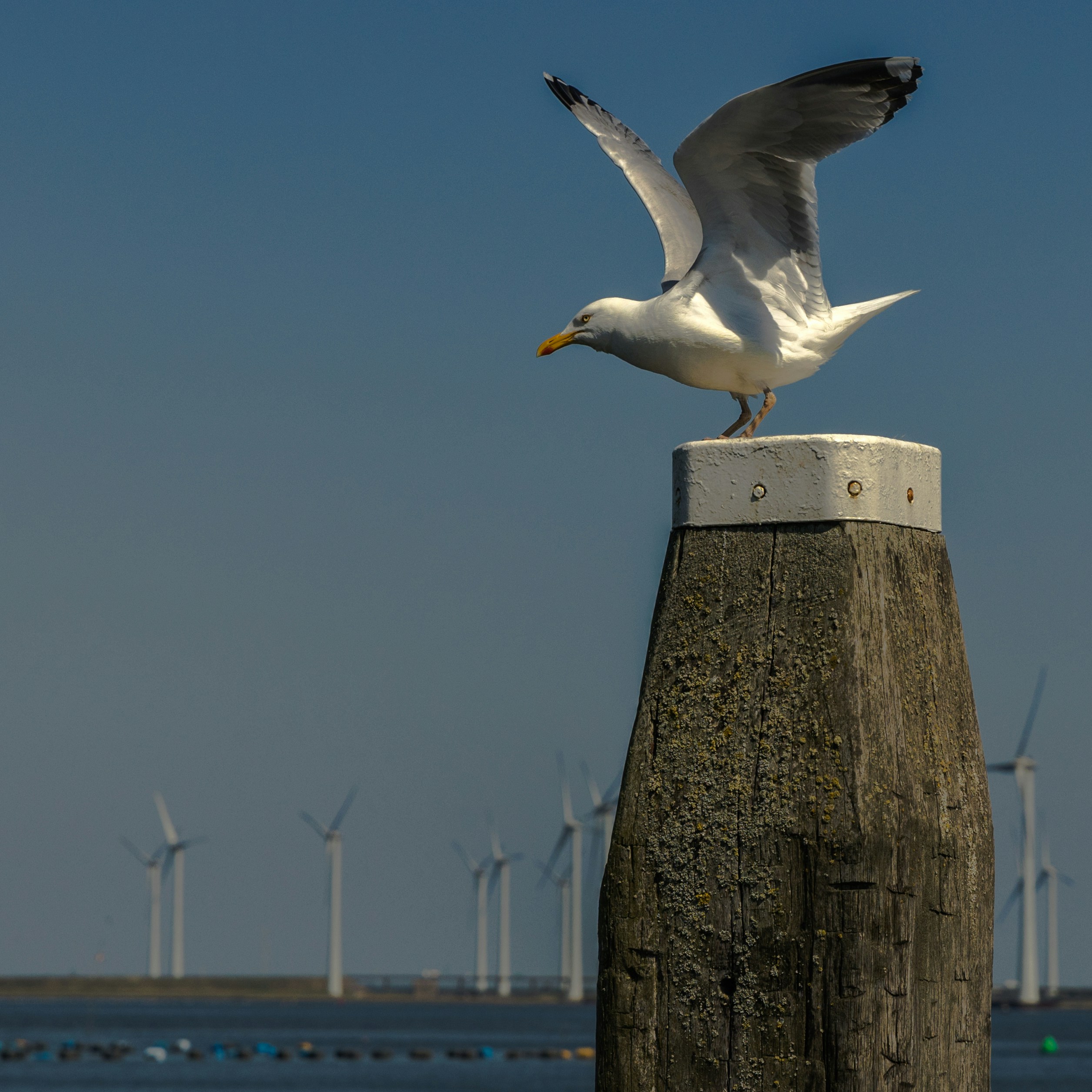
Aerial surveys of seabirds at sea using photogrammetric methods
Comprehensive seabird distribution analysis requires precision aerial intelligence capabilities. Our photogrammetric methodology employs research aircraft equipped with digital camera arrays, generating orthophoto maps that reveal species patterns.
Systematic data acquisition follows optimised flight parameters.
Pre-determined transect routes, calibrated altitude specifications, controlled velocity parameters, and targeted meteorological conditions ensure consistent data quality across survey areas. Advanced image processing combines artificial intelligence, machine learning algorithms, and GIS tools for automated species detection within photogrammetric datasets.
Sophisticated analysis transforms raw imagery into strategic intelligence
Specialised modeling generates density distribution maps that reveal critical habitat utilisation patterns across proposed development areas and surrounding maritime zones.
Strategic assessment delivers comprehensive are significance evaluation
Our integrated approach captures marine and aquatic bird movement patterns, stopover sites, and overwintering distributions. This intelligence enables precise assessment of maritime areas as feeding, and roosting.
Photogrammetric analysis captures the complete spatial narrative - from individual species behaviour to population-level patterns-providing the comprehensive perspective essential for informed maritime development decisions.
Have questions? Fill out our form or call us. We'll connect with you to discuss your needs and potential cooperation
+48 530 177 111
sayhello@murmurat.com
ul. Żurawia 71A
15-540 Bialystok, Poland
3Bird.ai
ul. Żurawia 71A
15-540 Bialystok, Poland
3Bird OÜ
Harju maakond, Tallinn,
Lasnamäe linnaosa,
Lõõtsa tn 5, 11415, Estonia
ul. Żurawia 71A,
15-540 Bialystok, Poland